For my new walking robot project, i like to use some street map data.
So, i wanted to use the OPEN STREET MAP data to create a stand alone robot.
I wanted to use for the position of my (off line) robot GPS data and with local stored data.
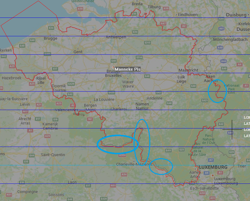
I did this night some tests and i see that some data isn't very accurate.
My first test was to project the belgium border data on an existing map ...
Q) Is here someone who used open street map for a project ?
and can help me with better results ...

thanks,
marco


