OpenStreetMap with precipitation layer
Posted: Sat Dec 05, 2020 5:24 pm
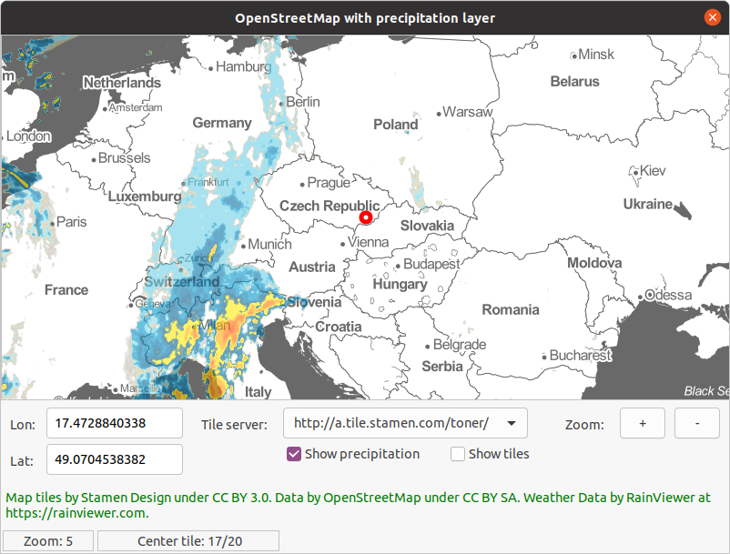
Dear colleagues, I made small implementation of free maps with precipitation layer. Because it does not use any caching is slow.
You can:
Source here (checked only in Linux!): https://www.ctvrtky.info/wp-content/upl ... tation.zip
Thank you.
Lukas
You can:
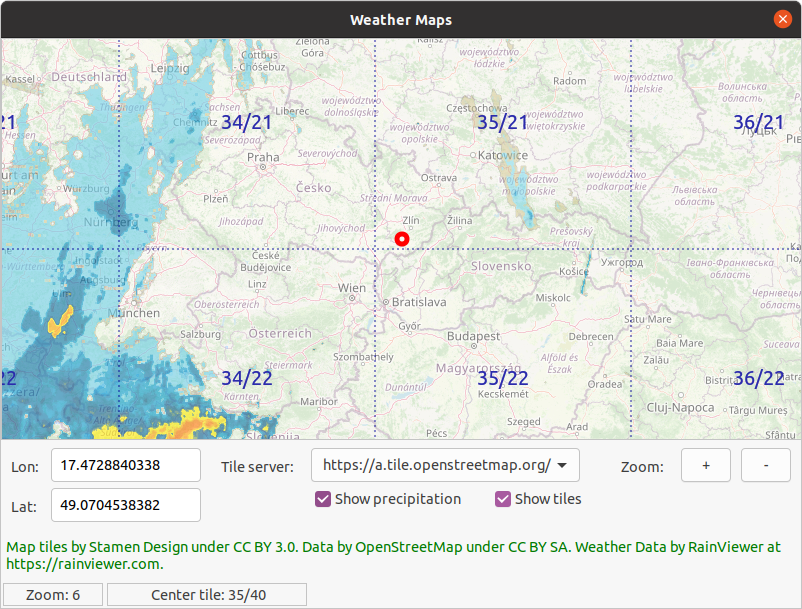
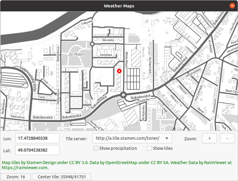
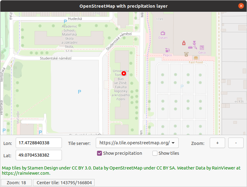
- Change map to your coordinates
- Zoom in/out
- Change map layer
- Show/hide tile borders with XY coordinates
- Show/hide precipitation layer(it is always only the newes one)
Source here (checked only in Linux!): https://www.ctvrtky.info/wp-content/upl ... tation.zip
Thank you.
Lukas